 |
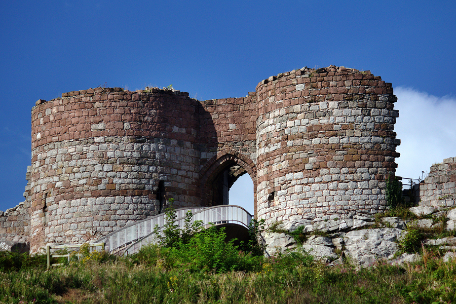
| The Inner Gatehouse, 2012 |
 |
| The Inner Gatehouse, 2012 |
 |
 |
|
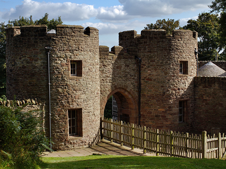
| The 19th Century Gatehouse | Gatehouse from inside, 2012 | |
 |
 |
|
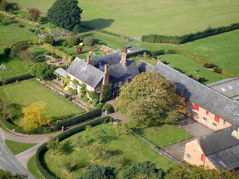
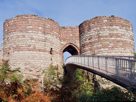
| Bird's eye view from the castle walls | Bridge across the moat to the inner gatehouse | |
 |
 |
|
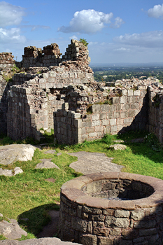
| On the summit | The well |
Beeston Castle is on top of the most spectacular outcrop in the county. The walk from the 19th century gatehouse to the top of the hill is steep, but the views from a height of 740 feet are well worth the effort. Arthur Mee mentions that on a clear day seven counties are visible. These must be Cheshire, Lancashire across the Mersey to the north, parts of Derbyshire and Staffordshire on the southern Pennines, the Wrekin in Shropshire, and in Arthur Mee's day, the old Welsh counties of Flint and Denbighshire. The Castle was built by Randle Blundevill, Earl of Chester, about 1220. More than four centuries later it was significant in the Civil War to control western parts of the County and after the war was sleighted. There is an outer and inner bailey separated by a deep rocky ditch which was crossed using a drawbridge.
Sources:
The Buildings of England, Cheshire, by Nikolaus Pevsner and Edward Hubbard, Yale University Press, 2003, ISBN 0 300 09588 0
Arthur Mee's Cheshire, published by Hodder and Stoughton, London, 1938; fourth impression 1950.